MAPLANKA GEOSPATIAL TECHNOLOGY
AND SOLUTIONS
APPLYING WORLD-LEADING TECHNOLOGY FOR INNOVATIVE SOLUTIONS


SURVEYING-MAPPING-GIS-CONSULTING-SOLUTIONS
We’re approaching geographical environments from different directions, and finding ways of presenting geospatial locations that aren’t maps in the traditional sense, but rather map-like visualizations. It’s no longer just about a spatial display, although that remains the main reference point for any cartographer. Maps are getting smarter, and showing us the world under different parameters.
We are expertise in…
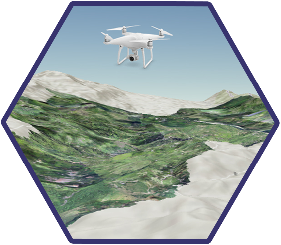
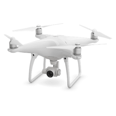
Drone
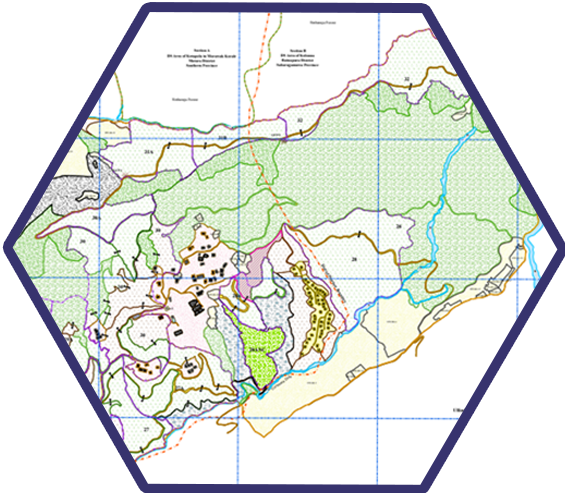
GIS
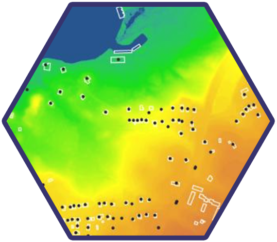
RS
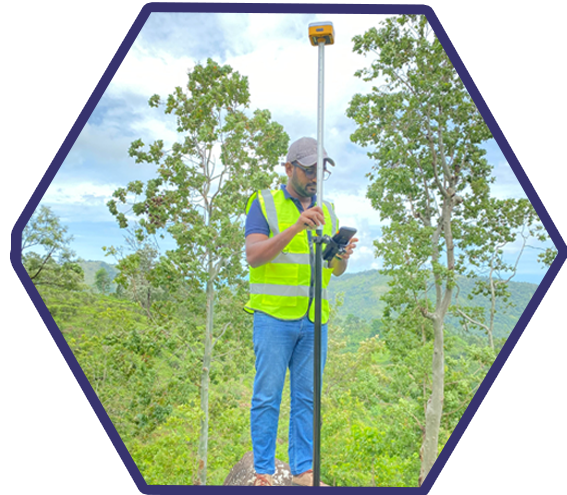
GPS
- Drone Surveys
- LiDAR Surveys
- Land Surveys with Survey Approval
- DGPS Services
- Geospatial Analysis
- Remote Sensing Services
- Spatial Data Collection Surveys and Research Projects
- Education, Training and Professional Development
- Topographic Surveys
- Web GIS Services and GIS Application Development
“Always stay at the forefront of delivering Sri Lanka the most advanced and precise geospatial technology solutions currently available worldwide, contributing to the country’s development.”
• Find the best solution for your land issue and obtain a high-quality, accurate survey-approved plan for your commercial cuvation land (Tea, Rubber, Coconut, and any other commercial cultivation).
• Our skilled team and surveyors conduct a comprehensive survey, providing you with accurate data for informed decision-making and achieving optimal development outcomes.
• We offer our services with experience, precise technology, accuracy, and reliability. Our competency lies in geospatial science, advanced and efficient methodology, and a qualified team.
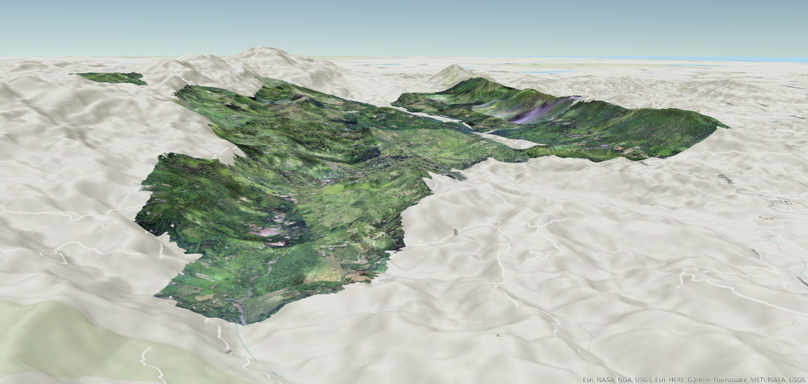
Recent projects
More Projects…
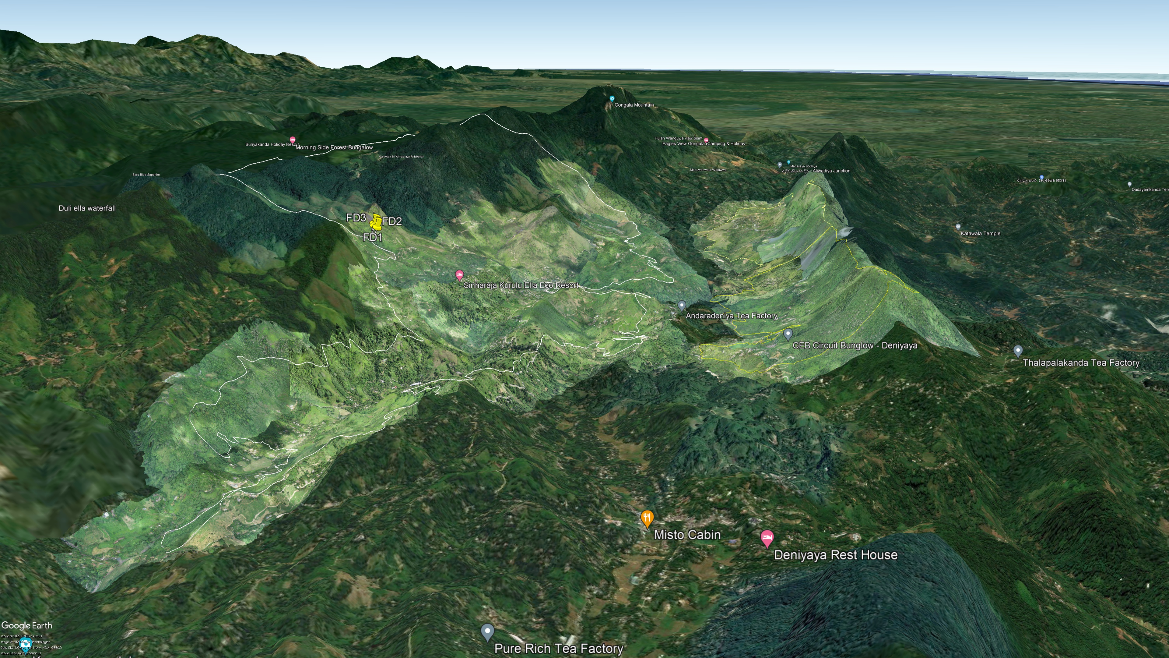
We have surveyed almost 30000ha in Sri Lanka…
Our Clients